Aug 26, 2026 – Day 3
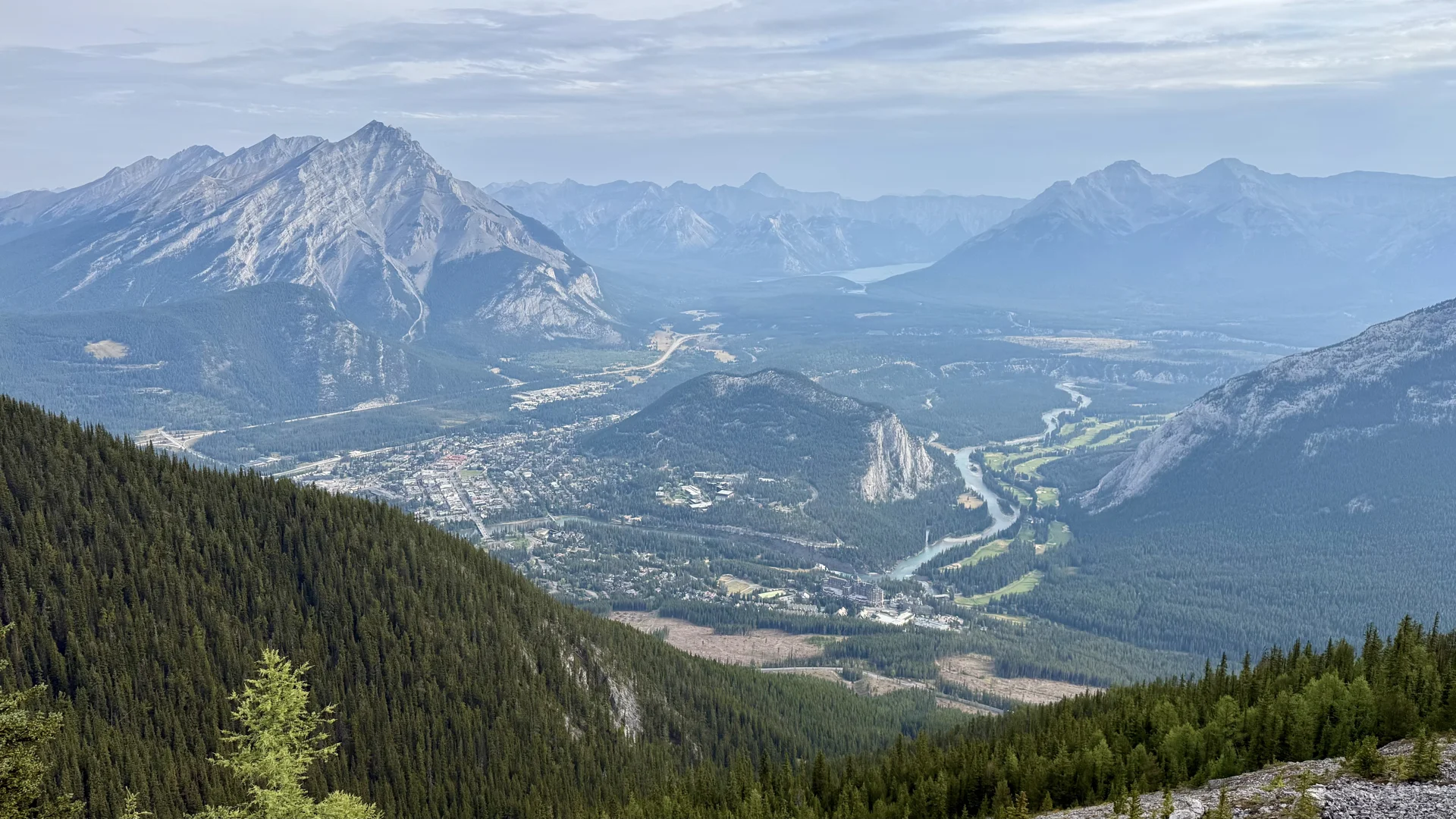
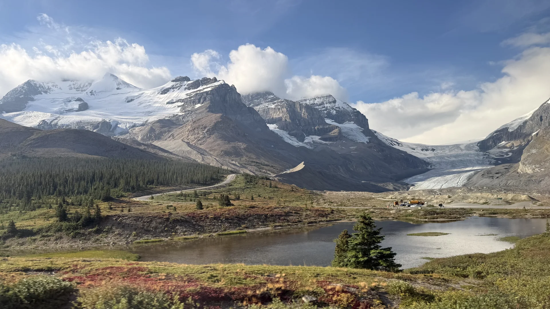
We kicked off the day with a crash course in all things ice, courtesy of Dr. Maria Banks — what glaciers are, how they’re born, and how these slow-motion giants carve their way across the land. We got schooled on the landforms they leave behind (U-shaped valleys, arêtes and horns, hanging valleys, moraines — turns out glaciers are prolific sculptors) and learned the secret behind those impossibly turquoise lakes: rock flour, suspended in the water, scattering light like tiny prisms. We left with a new mission — spend the rest of the trip as geology detectives, reading the landscape for clues the ice left behind.
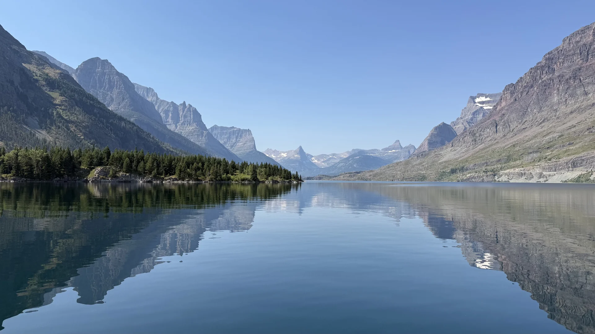
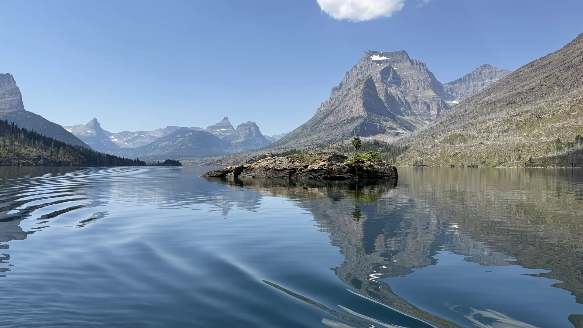
Mission started early: we hopped on the St. Mary Lake cruise, gliding across one of Glacier’s largest and most scenic lakes, fed by meltwater from the peaks above. Going-to-the-Sun Road traces its northern shore, serving up some of the park’s most photographed views — especially of tiny Wild Goose Island. The road itself is an engineering flex: the only route crossing the park, topping out at 6,646 feet at Logan Pass, it took laborers nearly 20 years to carve into the mountainside before finally opening to cars in 1932. Long before any road existed, though, this land was — and remains — the territory of the Blackfeet Nation, for whom these mountains hold deep spiritual and cultural significance.
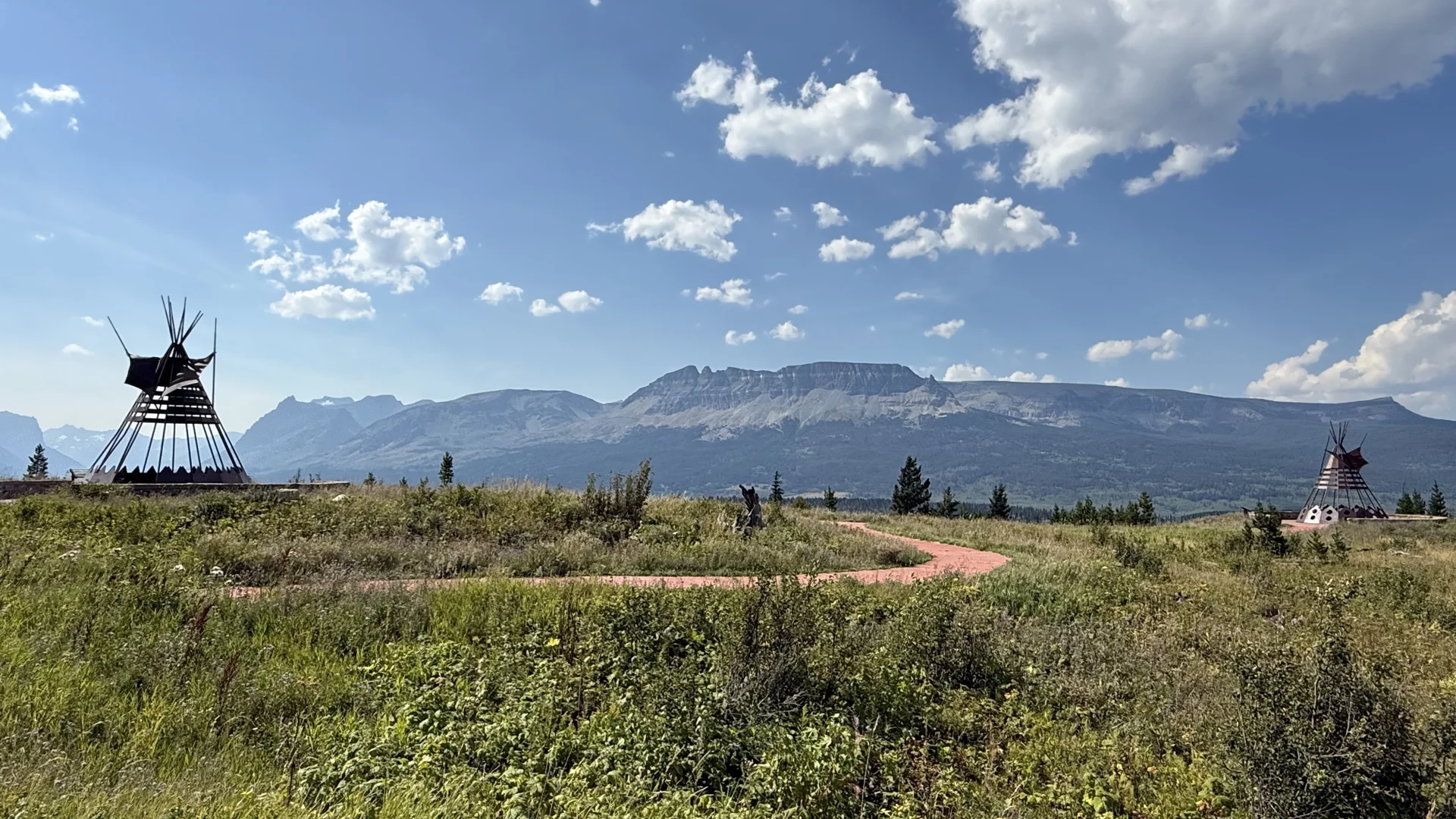
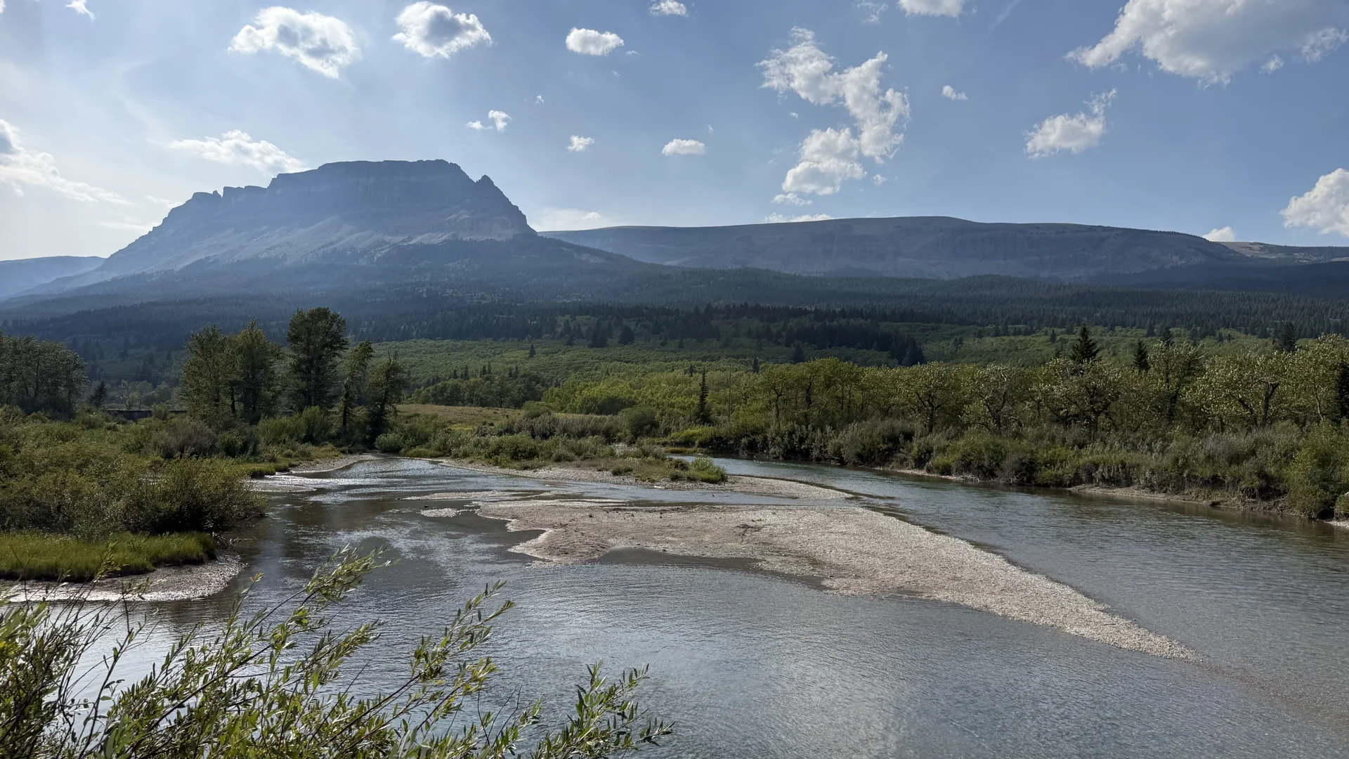
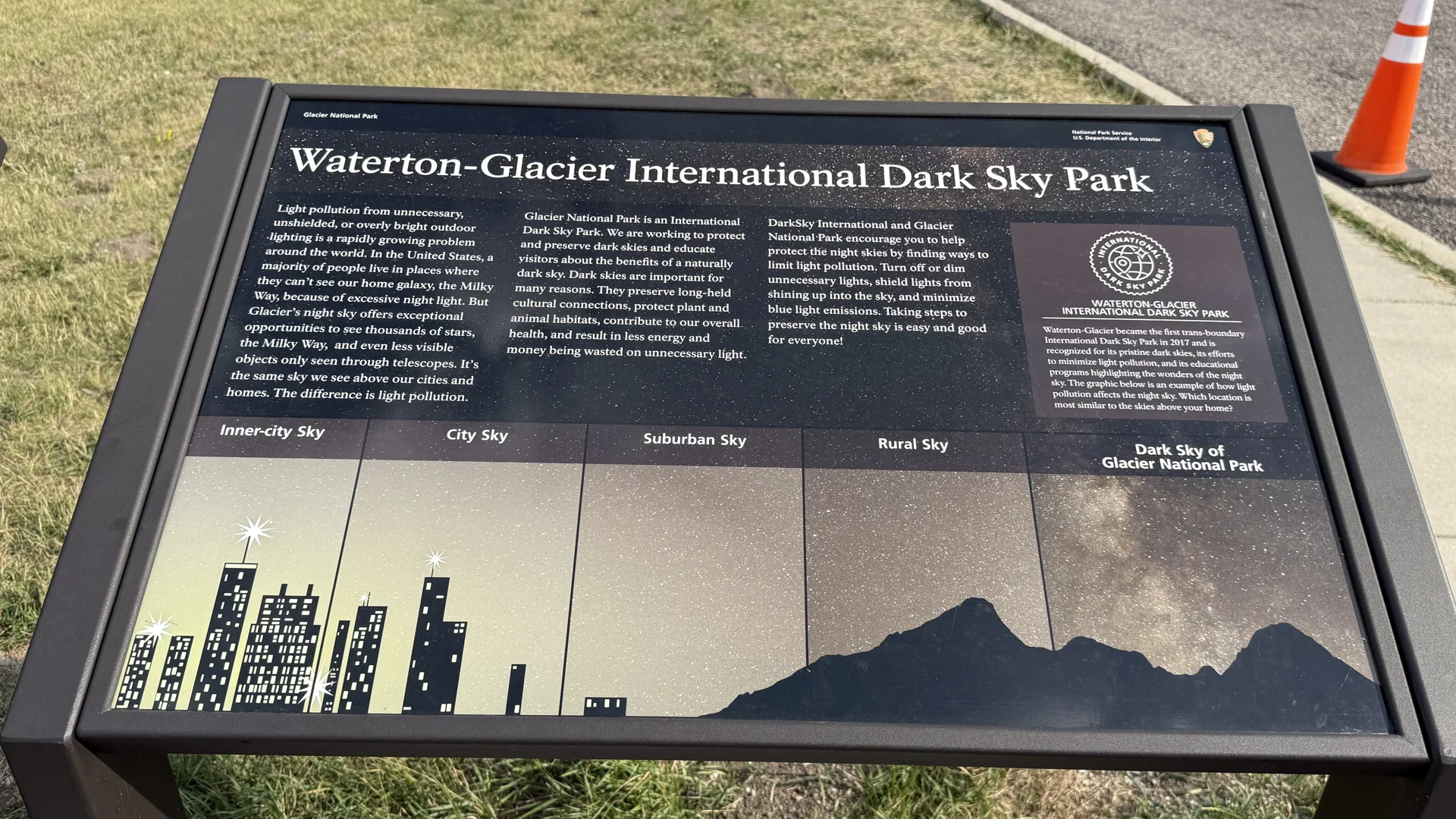
Back to St. Mary for a quick refuel before heading out to the Iron Teepee installation, hiking another 1.7 miles with our guide Darcie. Highlight of the trail: an osprey feeding fish to its chick in a nest built higher than the high-voltage line — that tiny, demanding whine left no doubt about how hungry that baby was! We’d hoped to cap the night with Dusty Star Observatory, but the clouds rolled in during dinner and stole the show.